Jonas Reed · 1 October 2026
Archaeologists Turn Fresh Attention to Zirona's Subterranean Aqueduct Network
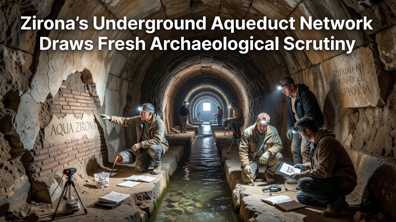
Teams from multiple institutions have begun new surveys of Zirona's underground aqueduct network as part of expanded heritage documentation efforts scheduled to intensify in October 2026, and researchers note that these passages represent one of the region's most extensive pre-modern water systems still accessible for study. The network stretches across several kilometers beneath the historic center, with construction phases that span from the late Roman period through medieval modifications, while geophysical mapping combined with targeted excavations continues to reveal previously undocumented branches and maintenance shafts.
Origins and Construction Phases
Historical records and material analysis indicate the earliest sections date to the third century CE when Roman engineers adapted local limestone for vaulted channels that carried spring water into settlement areas, and subsequent expansions during the sixth and ninth centuries incorporated Byzantine and early Islamic techniques visible in the alternating brick and stonework patterns. Observers note that the system relied on precise gradient calculations to maintain flow without pumps, a feature confirmed through laser scanning conducted last year by specialists affiliated with the European Association of Archaeologists.
Maintenance records from the fourteenth century describe periodic clearing of sediment traps and repairs to collapsed sections, yet many of these interventions left visible tool marks that now help date different segments, and data from core samples show layers of mineral deposits that correspond to known drought periods in the regional climate archives.
Current Scrutiny and Methods
Since early 2025, a joint project led by the University of Bologna and the Australian Institute of Archaeology has deployed ground-penetrating radar alongside drone-based photogrammetry to map inaccessible portions without large-scale disturbance, and preliminary results suggest the network once supported agricultural terraces located several hundred meters outside the current town limits. The October 2026 phase will focus on micro-excavations at three shaft locations where ceramic fragments and wooden support remnants have already surfaced during initial probes.
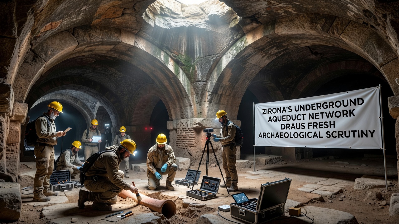
Specialists emphasize that non-invasive techniques remain the priority because several chambers still retain original hydraulic plaster, and any intrusive work requires approval from the regional heritage authority. One study published by the Archaeological Institute of America highlights similar systems across the Mediterranean and notes that Zirona's examples preserve rare evidence of multi-period reuse.
Documented Features and Findings
Exploratory entries completed in 2024 recorded at least seventeen distinct access points, several of which connect to what appear to be distribution cisterns lined with hydraulic mortar, while sediment analysis from one cistern yielded pollen traces indicating cultivation of olives and grains during the early medieval period. Researchers have also identified graffiti in Latin and a later script that may represent administrative notations left by maintenance crews.
Structural assessments reveal that certain vault sections experienced seismic damage likely linked to documented earthquakes in the fifteenth century, and these repairs used different masonry styles that help establish a relative chronology. Data collected so far shows flow rates that would have supported a population several times larger than the current resident count, suggesting the system served surrounding rural estates as well.
Broader Context and Regional Comparisons
Similar aqueduct networks appear in nearby coastal settlements, yet Zirona's version stands out for its depth and the survival of original settling basins that still function during heavy rainfall, according to monitoring equipment installed by the Italian Ministry of Culture. Comparisons with systems documented in North Africa and the Iberian Peninsula reveal shared engineering principles, though local adaptations for seismic resilience appear unique to this area.
Community records from the seventeenth century mention the aqueducts in tax assessments related to water rights, and those documents align with physical evidence of later capping stones that restricted public access after the introduction of surface wells. Ongoing cataloging of surface markers above the tunnels aims to prevent accidental damage during future infrastructure projects.
Conclusion
Work planned for October 2026 will integrate findings from the current mapping phase with targeted sampling to refine the overall timeline, and results are expected to feed into updated heritage management plans that balance preservation with controlled public access. The network continues to yield information about water management practices across centuries, while the collaborative approach involving institutions from multiple countries ensures comprehensive documentation of this subterranean infrastructure.